Optimized electromagnetic environment analysis software to predict network coverage and reduce spectrum interference
HII’s Terrain Integrated Rough Earth Model (HII TIREM™) is the premier software tool for precise electromagnetic environment analysis, addressing the increasing demand for interference-free spectrum access. Backed by decades of expertise, HII delivers fast, accurate and scalable solutions to maximize coverage and connectivity while mitigating radio frequency interference (RFI).
HII TIREM™ integrates more than 1 million calculations and uses multiple techniques, including free-space spreading, reflection and atmospheric absorption.
Mission Application
Predicts RF coverage for land mobile radios, point-to-point distances and sensor acquisition ranges from 1MHz into “spectrum frontiers” bands.
Supports beyond-line-of-sight (BLOS) propagation analysis using knife-edge diffraction and troposcatter.
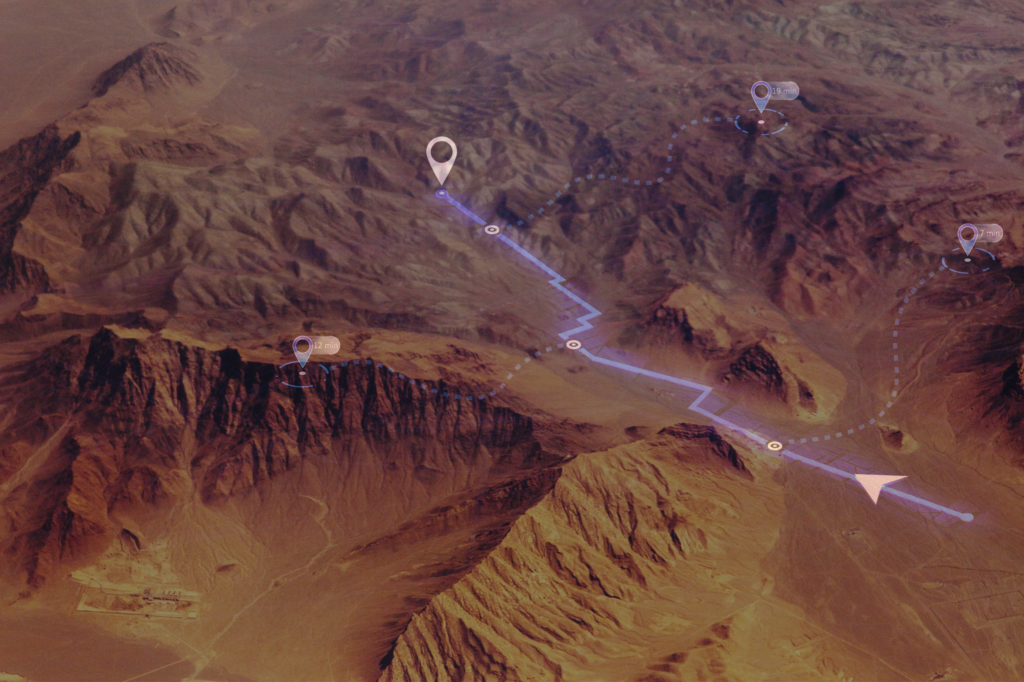
Evaluates land-sea transitions, urban clutter and topographic features for accurate path propagation.
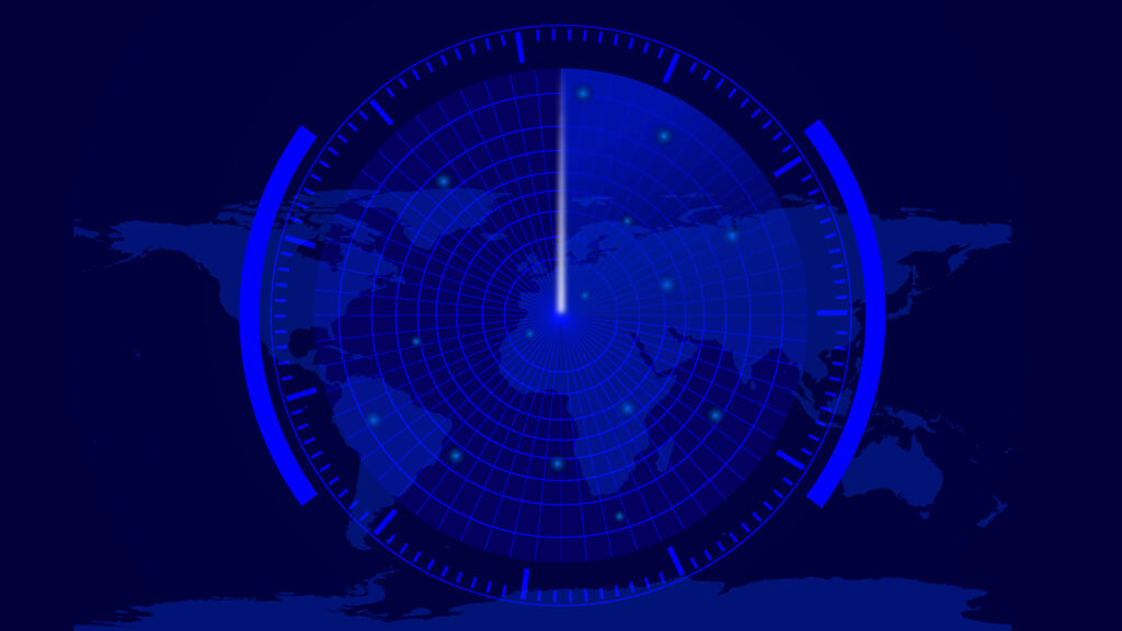
Empowers decision-making with robust tools for spectrum monitoring and modeling across varied terrains.
Advantages
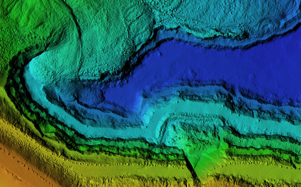
Precision RF Analysis: Combines physics-based algorithms with sub-meter Lidar data for reliable RF analysis.
Adaptive Modeling: Supports long-term fading models and atmospheric condition adjustments.
Broad Compatibility: Complies with modern computing requirements, supporting MathWorks, Python, Windows and Linux platforms.
Flexible Terrain Analysis: Includes empirical models for analysis without requiring detailed terrain data.
Features
Utilizes deterministic modeling for power, density and field strength calculations, accounting for Fresnel interference and deep fading loss.
Automatically selects and combines propagation models for land/sea and homogeneous terrain paths.
Incorporates advanced modeling techniques, including atmospheric ray tracing with rain, dust and fog simulations.
Stores signal data for post-analysis and integrates more than 1 million calculations for precision.
Offers a spherical earth model for evaluating profile geometry and line-of-sight (LOS) paths.
Provides flexible tools as MATLAB components and supports integration for dynamic analysis needs.
From Planning to the Front Lines: Mission Confidence in Every RF Environment
With more than 65 years of leadership in RF propagation and electromagnetic modeling, HII empowers spectrum dominance—so warfighters can operate with confidence, clarity, and control. HII TIREM™ and VIPER® are complementary tools supporting the full RF mission lifecycle. Whether modeling complex Electromagnetic Operational Environments (EMOEs) with thousands of emitters or safeguarding command posts in live C2 environments, HII delivers spectrum engineering solutions tailored to operational reality.