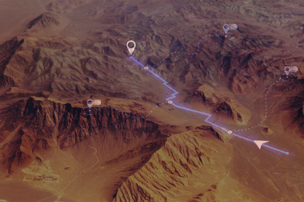
High-Quality, Actionable Terrain Data for Critical Analyses
HII’s GIS data solutions deliver high-fidelity terrain and vector data to support RF analysis, modeling and mission-critical decision-making. Using a proprietary ingesting and processing approach, raw LiDAR data is converted into usable, high-quality formats with rigorous editing to correct erroneous data points. The result is reliable, accurate geospatial data ready for actionable analyses in defense, telecommunications and spectrum optimization environments.
Mission Applications
Terrain-informed RF propagation modeling and analysis.
Electromagnetic interference (EMI) prediction and mitigation.
Spectrum optimization for congested or contested environments.
Network performance evaluation and planning.
High-resolution terrain modeling for defense and commercial operations.
Rapid large-scale data sourcing to support time-sensitive missions.
Advantages
Proprietary Data Processing: Converts raw LiDAR data into high-quality, ready-to-use formats with advanced error correction.
Comprehensive Coverage: Multi-resolution terrain data for the continental U.S., Hawaii, Guam, Puerto Rico and southern Alaska; OCONUS data available by request.
Scalable Data Delivery: Supports terrain resolutions from 30-meter to sub-meter for detailed analyses.
Proven Rapid Processing: Successfully sourced and processed data for 3,200 locations and over 100TB of terrain data within weeks, including visual QC of each data point.
High-Fidelity Outputs: Provides terrain models with the detail necessary to support precise RF analysis and mission planning.