Network planning and management software for reliable and efficient connectivity
RFarchitect® is an advanced, integrated fully internationalized deconfliction software tool for RF network planning and management, designed to optimize spectrum usage and ensure reliable, interference-free communications. It reduces network analysis and planning time and enables path reliability while reducing RF congestion and electromagnetic interference (EMI). It empowers spectrum operators and network planners to maintain communication superiority in today’s complex and contested electromagnetic environments.
As industry-leading experts, HII has developed sophisticated, time-tested algorithms for electromagnetic spectrum operations and RF network planning and engineering. Additionally, we have supported spectrum-sharing studies between government assets and commercial carriers, expanding 5G offerings.
RFarchitect performed ~6,000 simulation runs in the mid-3Ghz band to support spectrum-sharing studies.
Mission Application
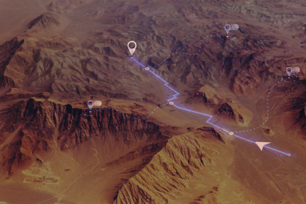
RFarchitect® empowers decentralized network planning and frequency assignment through modular deployment and customizable installation. It enables users to manage multiple deployment scenarios while accessing terrain data and supporting imagery—even offline. Additionally, it facilitates the distribution of updated network plans between users when requirements shift, ensuring resilient and adaptable network connections.
Advantages
Comprehensive Interference Analysis: Accurately models RF environments and interference sources with customizable radio characteristics.
Network laydown planning: Predicts, prevents, detects and mitigates EMI to enable seamless spectrum-sharing with federal agency and private sector partners.
Enhanced Path Reliability: Our terrain-based propagation analysis tool (TIREM) allows RFarchitect to integrate RF network analysis for Line-of-Sight (LOS) paths with terrain analysis (high point retrieval, path profiling, area coverage) and analysis of worldwide geoclimatic factors, including tropospheric-scatter and knife-edge refraction.
Features
3D antenna pattern analysis using standard formats, with georeferencing by point location and vertical angle.
Dynamic propagation models assign models and variables at individual interaction levels.
Handles 300+ emitters in a single simulation with efficient runtimes.
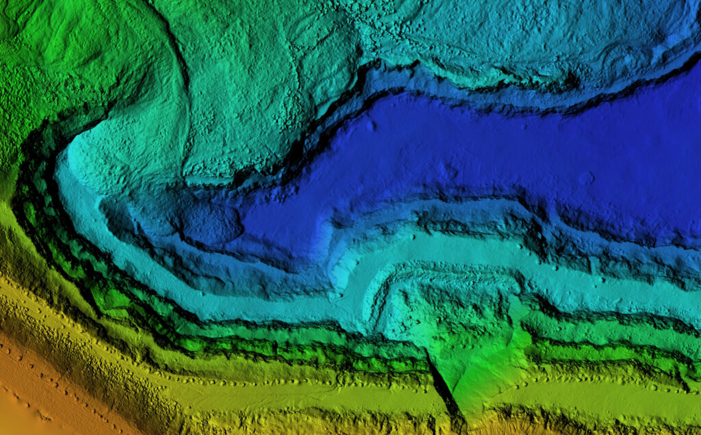
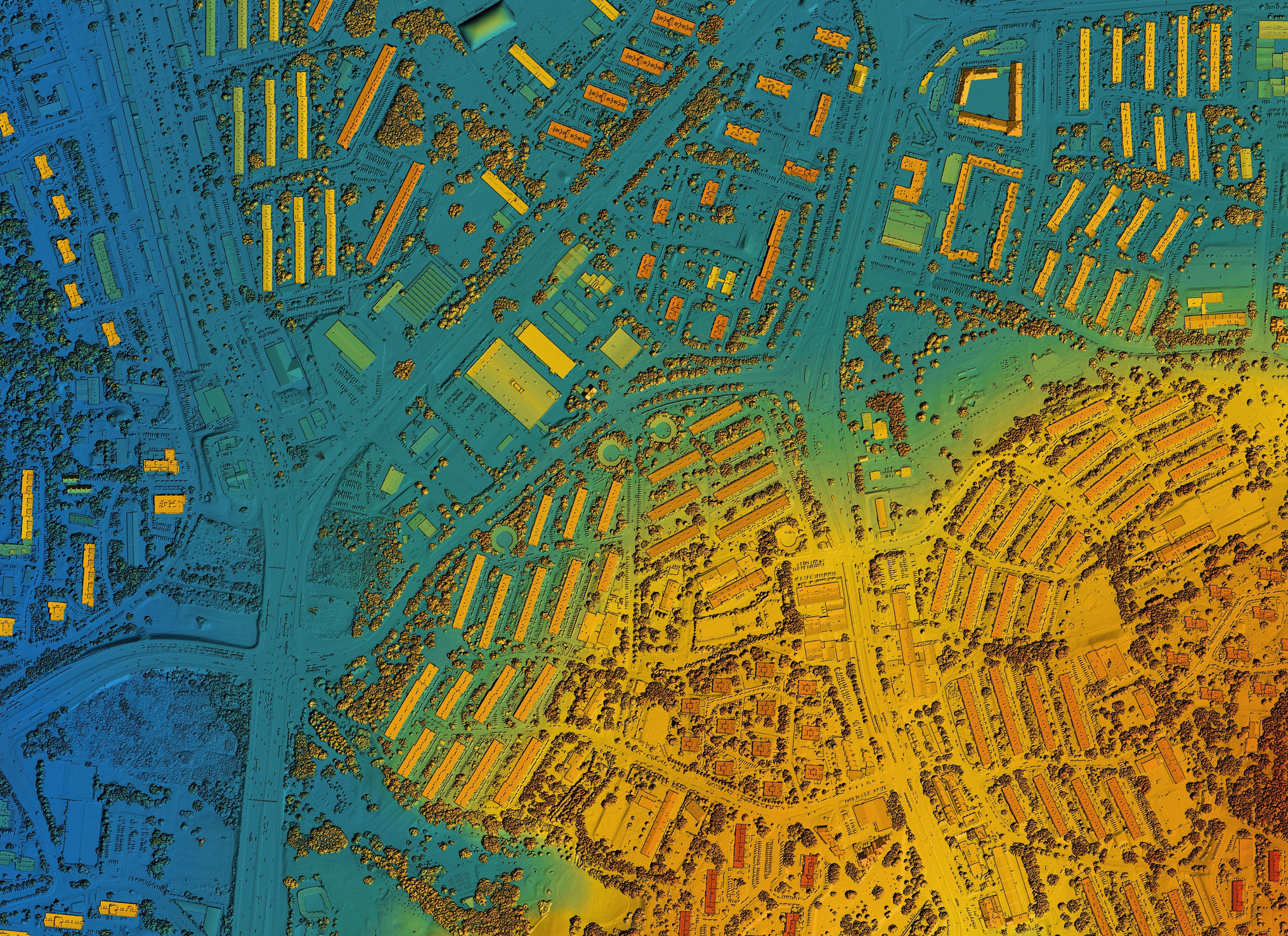
Variable terrain resolution using data from sub-meter Lidar to 90m Digital Terrain Elevation Data (DTED) in one simulation.
Imports equipment data from diverse file formats/standards.
Performs full frequency-dependent rejection (FDR) calculations for precise interaction assessments


